How XDGGS is Bringing Planetary Data to Life
Have you ever looked at a flat world map and wondered why Greenland looks almost as big as Africa? That’s the “lying” nature of traditional map projections: they inevitably distort area, distance, or angles when trying to flatten our round Earth onto a 2D screen. For scientists trying to analyze climate change or global weather patterns, these distortions are a real data analysis problem. That’s why out team has been advocating for equal-area spatial data references systems. With XDGGS you can use the well-known Xarray Python library to work with DGGS-indexed data cubes.
The Solution: Tiling the Earth into same size patches for analysis
Enter Discrete Global Grid Systems (DGGS). Instead of stretching the Earth onto a flat rectangle, DGGS divide the globe into a hierarchy of equal-area cells—like hexagons, triangles, or diamonds—that tile the planet’s surface evenly. This allows researchers to store and analyze data on a “planetary scale” without the discontinuities and distortions of traditional maps.
Introducing XDGGS: The Bridge to Better Data
While DGGS are powerful, they have historically been difficult to use. Different libraries—like Uber’s H3, HEALPix (originally for astronomy), or DGGRID/ISEA—all came with their own complex, hard-to-use APIs.
That is where XDGGS comes in: XDGGS is a new open-source Python package designed to make these global grids accessible to everyone.
Please cite XDGGS if you use it:
Kmoch, A., Bovy, B., Magin, J., Abernathey, R., Coca-Castro, A., Strobl, P., Fouilloux, A., Loos, D., Uuemaa, E., Chan, W. T., Delouis, J.-M., and Odaka, T.: XDGGS: A community-developed Xarray package to support planetary DGGS data cube computations, Int. Arch. Photogramm. Remote Sens. Spatial Inf. Sci., XLVIII-4/W12-2024, 75–80, https://doi.org/10.5194/isprs-archives-XLVIII-4-W12-2024-75-2024, 2024.
Why XDGGS is a Game-Changer
XDGGS acts as a unified “translator” that plugs directly into Xarray, the gold standard for multidimensional geospatial data analysis. Here’s why it’s exciting:
-
One API to speak different “DGGS”: It provides a single, high-level interface to work with multiple DGGS backends like IGEO7, HEALPix, or H3, hiding the underlying complexity.
-
Seamless Integration: Because it extends Xarray, you can continue using your favorite Python-based workflows while benefiting from DGGS-specific features like spatial indexing and multi-resolution aggregation.
-
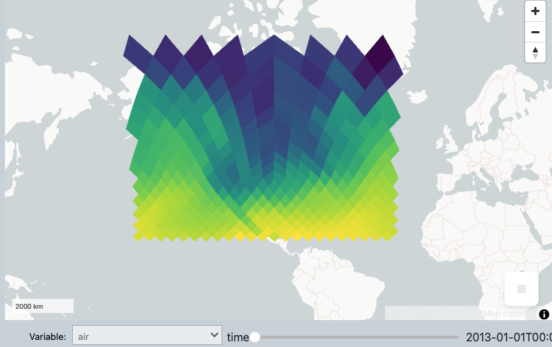
Planetary Data Cubes: It facilitates the creation of “data cubes”—multidimensional datasets that combine space, time, and other variables (like altitude or temperature) for massive global simulations.
-
Ready for the Future: Projects like “Destination Earth,” which aims to create a highly accurate digital twin of our planet, are already looking to systems like HEALPix for their modeling.
By making global grid systems user-friendly, XDGGS is helping the geospatial community move closer to a truly “FAIR” (Findable, Accessible, Interoperable, and Reusable) data future.
Getting Started
Whether you are a climate scientist modeling the next decade of ocean temperatures or a developer working with global location data, XDGGS is designed to simplify your workflow.
Ready to dive in? You can explore the code and documentation here:
-
XDDGS Documentation: https://xdggs.readthedocs.io/
-
XDGGS GitHub Repository: xarray-contrib/xdggs
Expanding the Ecosystem: IGEO7, DGGRID, and DGGAL Support
The XDGGS ecosystem is rapidly growing to support the latest advancements in geospatial science. A major new milestone is the support for IGEO7, a novel “pure aperture 7” hexagonal DGGS. Unlike some popular hexagonal grids that have varying cell sizes, IGEO7 maintains true equal-area properties across the entire globe, making it a statistically superior choice for global analysis. This support is now available through dedicated plugins:
-
xdggs-dggrid4py: A plugin implementing the long-standing DGGRID software as a provider. Find xdggs-dggrid4py on our GitHub
-
xdggs-dggal: Leverages the Discrete Global Grid Abstraction Library DGGAL. Find xdggs-dggal on our GitHub
History
We were scoping joint activities to further the development and applicatons of DGGS, e.g. with the Pangeo community. Eventually, we managed to get developers, thinkers, users, and experts together at the community codesprint at the ESA BIDS'23 conference,
As a result the goal of the xdggs library was conceived – to facilitate working with multiple Discrete Global Grid Systems (DGGSs) via a unified, high-level and user-friendly API that is deeply integrated with Xarray.
We had a talk and an article accepted for the FOSS4G Europe 2024 conference, July 01–07 in Tartu, Estonia. There were classic free and open-source geospatial topics, but also an increasing touch of EO.


